Tips o' th' hat to dtlange and Robertscribbler.
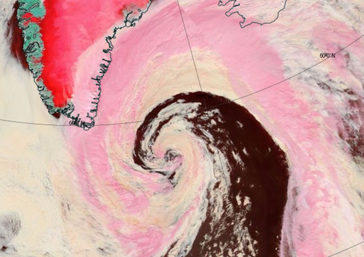
Yesterday north Atlantic low-pressure system acquired at least one hurricane characteristic -- a well-defined eye!
Yesterday north Atlantic low-pressure system acquired at least one hurricane characteristic -- a well-defined eye!
 |
| Source: PBS.org. |
 |
| Image source: Tropical Tidbits. |
CMC 10-day forecast model run showing an extremely powerful 955-mb low just north of Svalbard on August 25th. Such a storm is low-probability at this time, but its formation would likely result in serious impacts to sea ice. (Robertscribbler)Meanwhile there's another cyclone that came out of Siberia via the Laptev Sea, and is coming up right up by the North Pole, stronger than the one off of Greenland.
 |
| "Great Arctic Cyclone" of 2016 as of yesterday, August 15th. Image source: LANCE MODIS. |
 |
| Also yesterday. Image source: Earth Nullschool. |
Storms, heat and moisture feed up through a high-amplitude wave in the Jet Stream over northern Europe and Siberia and into a developing Arctic cyclone over the Laptev Sea during the early hours of August 15, 2016.
Central pressures in the storm fell to 969 millibars and the winds whipping out over the Laptev, East Siberian, and central Arctic waters gusted at 45 to 55 miles per hour. Waves of 6 to 10 feet or higher roared through the newly-opened waters filled with increasingly dispersed ice floes. (Robertscribbler)Since then the storm's strongest winds have calmed down to about 42 kmph, which is just north of 25 mph.
There was another such storm in 2012, which helped the sea ice area and extent reach record lows that year. This storm won't even come close to doing that, but it could cause the Arctic Sea ice to meet or fall below the levels set in 2007 and 2015.
2016 is strange!
No comments:
Post a Comment